The Bay of Fires on Tasmania’s Great Eastern Drive – Is it Worth The Hype?
When you Google Tasmania eventually pictures of unique rocks with red coloring will appear in the search results. So are they actually that impressive in person?
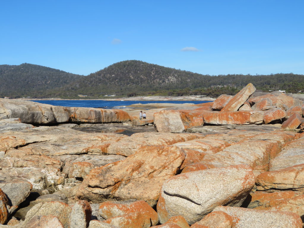
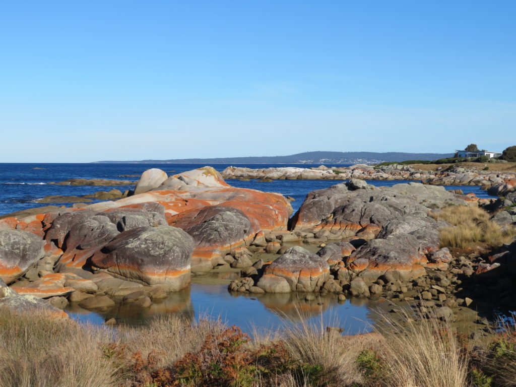
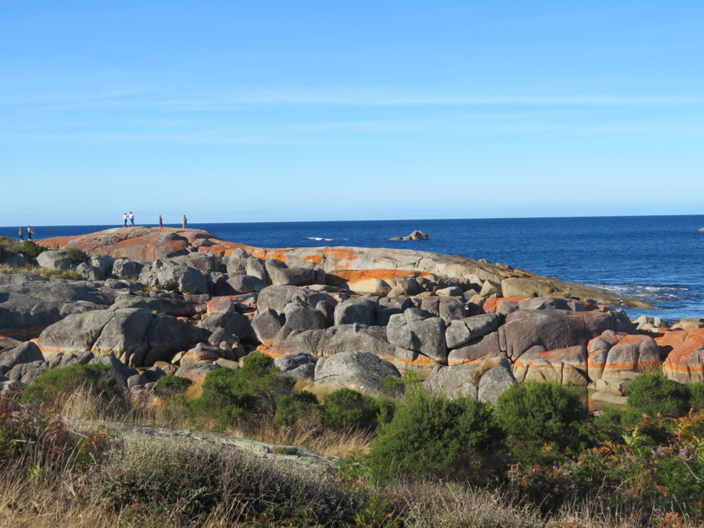
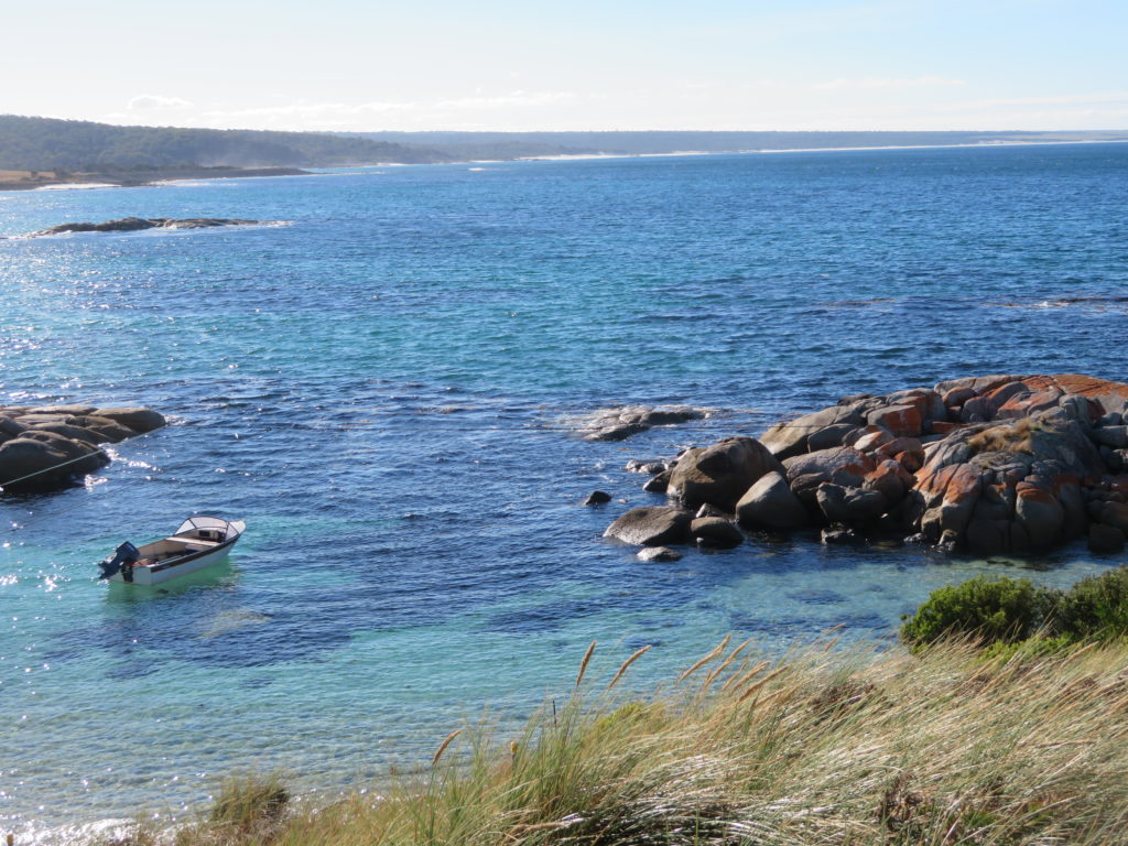
Bay of Fires
On the east coast of Tasmania from around Bicheno up to Binnalong Bay is where you’ll find clusters of those red rocks. As I was pressed for time I opted for the Bicheno blowhole in Bicheno and the Bay of Fires national park just up from St Helens.
This was day 5 of my 10 day Tasmania road trip (full itinerary in this post)
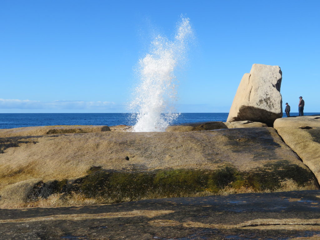
Bicheno Blowhole
You won’t have much trouble finding this as Bicheno is small and the blowhole is well sign posted. There aren’t many parking spaces so you may want to park a little way up the road and walk down to the rocks.
I wasn’t very good at timing the blowhole – every time I’d turn my back to it, it’d go off!
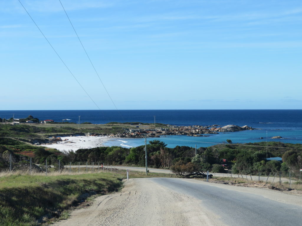
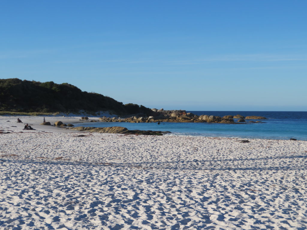
Bay of Fires
The road leading to the Bay of Fires winds around farmland with nice views like this:
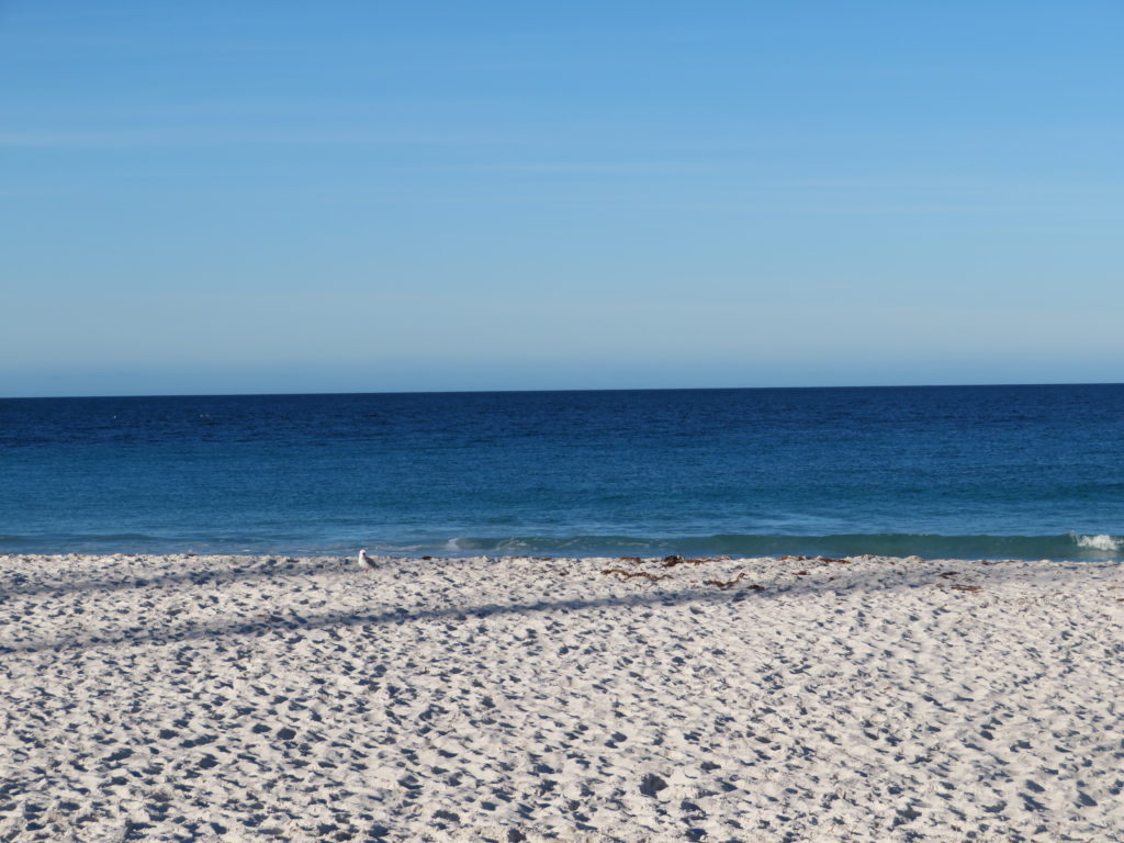
As for how much time you need to visit? One afternoon (around 2 – 3 hours) was sufficient to see the rocks, stop in at most of the beaches (and walk along for a bit but no swim). I don’t think you need more than half a day.
The beaches in this are have bright white sand which provides a nice contrast. The time of day and lighting makes a big difference in how the water and the rocks looks. This was mid to late afternoon in April. I think midday would’ve been the best photos there were too many shadows later in the day.
Is it worth the hype?
The photos you see online are very true to what you see when you get there. The rocks really are that red and the water really is that blue. I was expecting the quantity of the red rocks to be much greater – they’re only in small pockets. However they are definitely worth a photo stop!
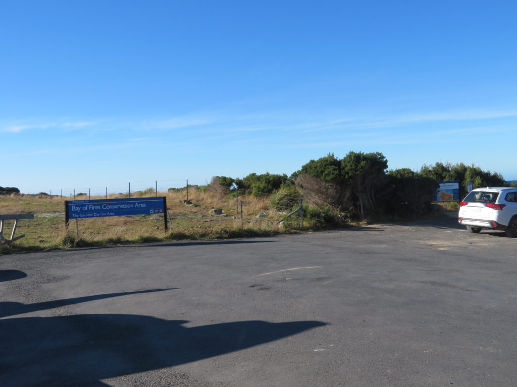
Getting to the Bay of Fires
The directions to get to the red rocks were terrible online. I even emailed Tasmania National Parks and they were just like ‘follow the road’.
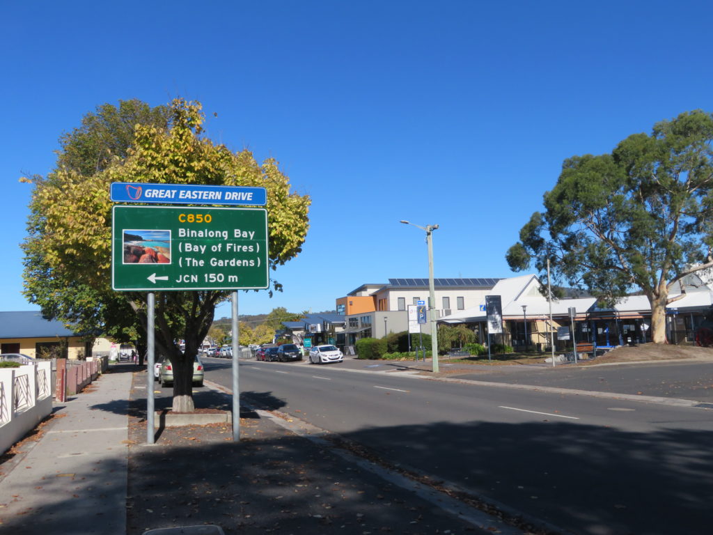
So you don’t have the same questions:
- From the main road in St Helens (Tasman Highway), take the Quail Street road turnoff
- After the first bend, Quail road turns into Binnalong Bay Road. Follow this road and watch for a left turn onto Gardens Road
- Drive to the very end of Gardens road – it’s called The Garden’s on Google maps – where there is a small parking area
- There are various side roads that come off Gardens Road that are sand (not sealed road) for beach access. Some of them looked very bumpy and only good for four wheel drive
- We ended up driving down one of these in our SUV hire car. It was very bumpy (the bag of M and M’s my Mum was snacking on ended up on the floor) but it only took a minute or 2 to reach the parking area
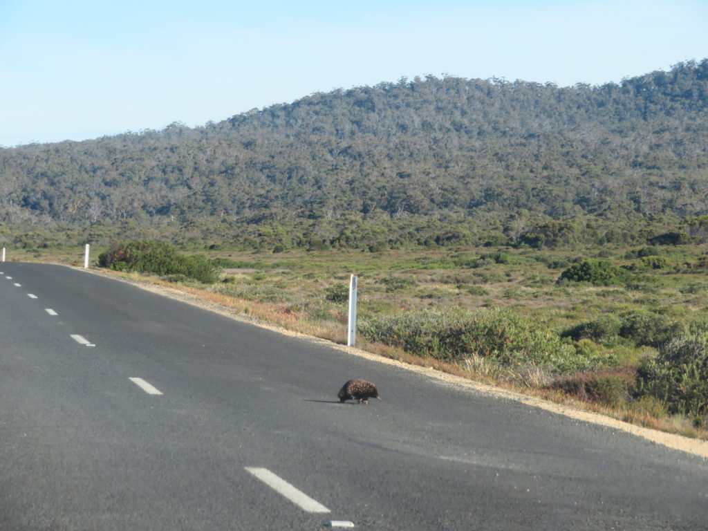
The road to the Gardens is sealed bitumen. We randomly timed an echidna crossing the road!
Accommodation:
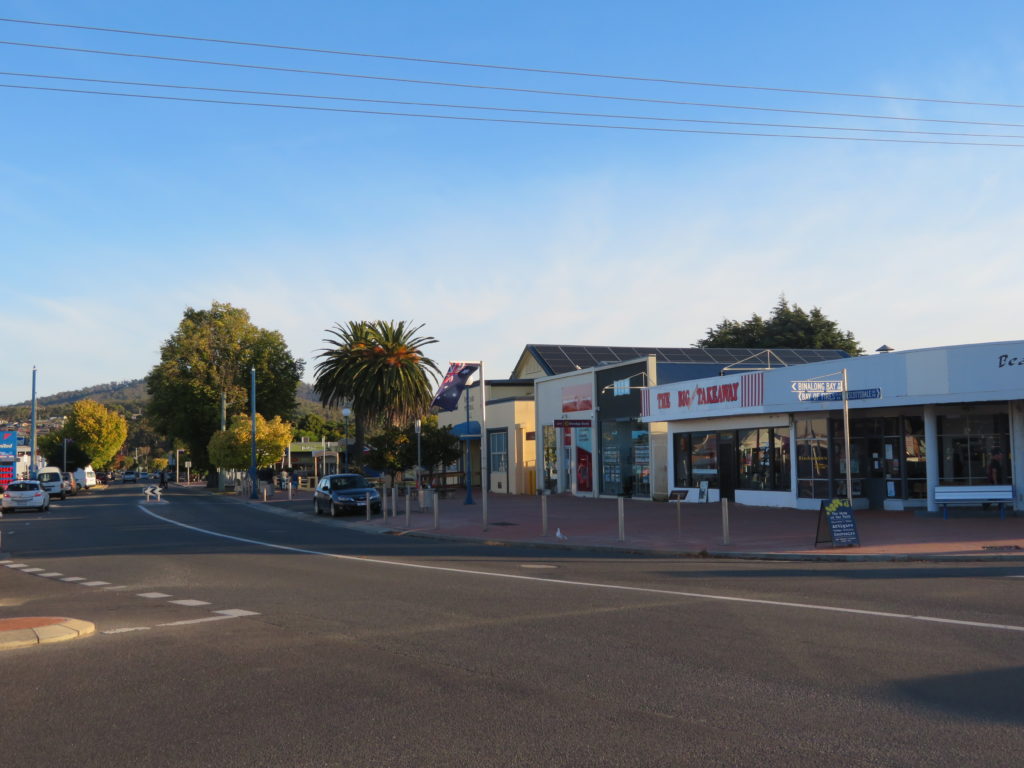
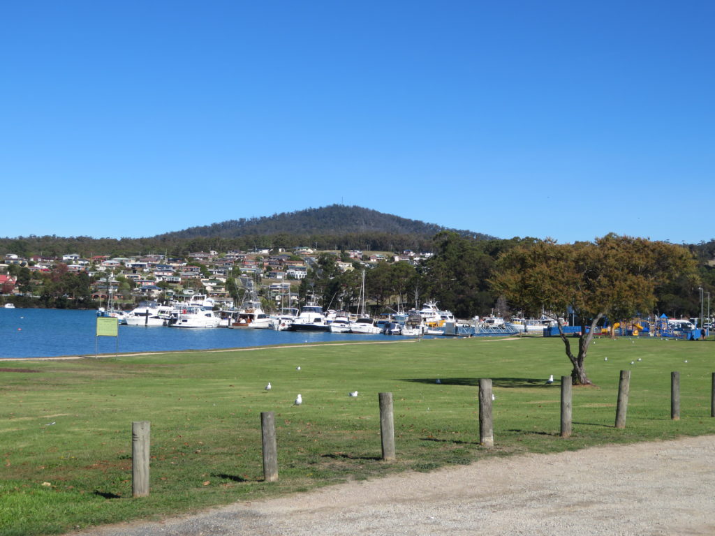
There are a few campgrounds in the Bay of Fires area but if you’re not into camping (definitely a no for me!), St Helen’s is the closest town to the Bay of Fires. It’s a decent sized town compared to other’s on Tasmania’s east coast – has a full size supermarket. It even had an RSL where I timed $15 Schnitzel night! 🙂
I stayed at the Queechy Motel in St Helens. No complaints. It was a 2 story cottage / bungalow close into town.
More Tasmania Posts
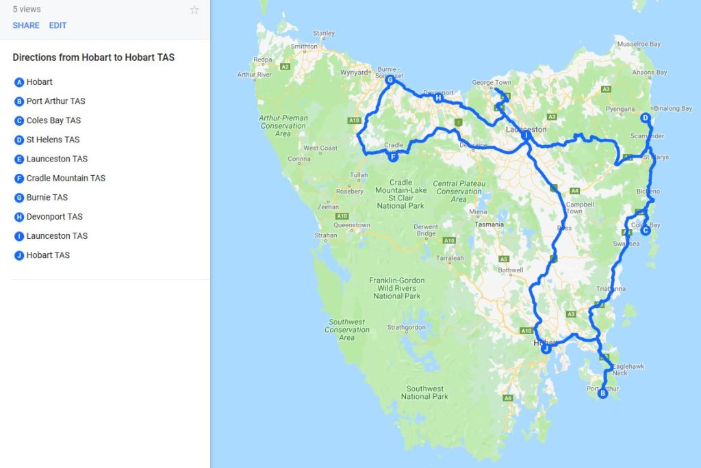
- Best of Tasmania Road Trip (10 Day Self Drive Itinerary)
- Driving Tasmania’s Heritage Highway in Autumn (in 1 day)
- A Day at Wineglass Bay in Freycinet National Park & Coles Bay, Tasmania
- Port Arthur & Eagleneck Hawk Day Trip from Hobart (With Recommended Schedule)
- Cradle Mountain, Tasmania – Dove Lake walking trail & Devils at Cradle
- Exploring Launceston, the Tamar Valley and Tasmania’s North Coast (including itinerary)
Travel Planning
- Travel Planning: 50 Things to consider when planning an itinerary
- How I use Excel to organize all my travel plans (research, itinerary, hotel, tours, bookings, packing list etc.)
- Travel Planning: How to choose a hotel (my step by step process)
Organize your trip with my travel planning spreadsheets!